
Latin ichnographia : Greek ikhnos, track + Greek –graphi, -graphy
- The art or process of drawing ground plans
- A ground plan of a building
These images were taken during the academic year 1998-99 and explore the Ohio and Erie Canal. This now-defunct waterway passes through Akron, Ohio, as it travels from Lake Erie to the Ohio River. Today, it is mostly used for combined sewer overflow but was pivotal in the founding of Akron.
The City of Akron owes its founding to the Ohio and Erie Canal. The waters in the Cuyahoga and Little Cuyahoga Rivers move north into Lake Erie and eventually find their way to the Atlantic Ocean by way of the St. Lawrence Seaway; much of the water in the southern Tuscarawas River originates in the Portage Lakes and makes its way to the Gulf of Mexico through the Ohio and Mississippi Rivers. Our canal bridged these two water networks and allowed boat and barge traffic to navigate between them. Akronʼs unique position at the high point of this route allowed it to service the canal industry and give the early industries established along these banks a place to call home. The Ohio and Erie Canal continued to have significance and usefulness until 1913, when a flood damaged the canal beyond repair.
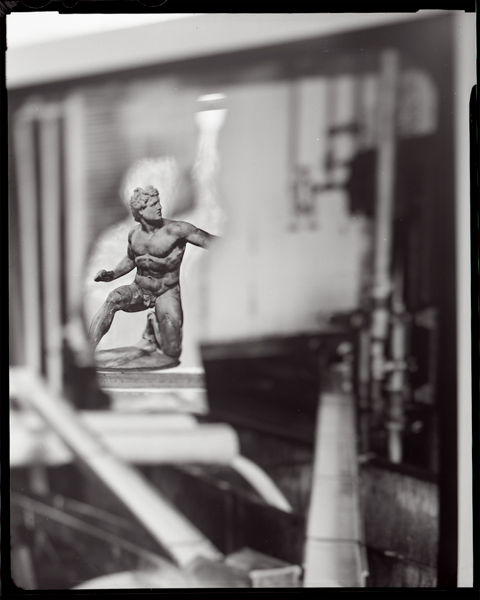
My photographs artistically explore the relationship between the waterways as they exist today and the landscape around them. There has been recent restoration interest in the Ohio and Erie Canal (most poignantly shown in its run through the Cuyahoga Valley), so this relationship has a more significant opportunity to manifest itself. We as citizens can now walk the old towpaths and read brief historical sketches of life when barges were a viable means of transportation. All the urban and post-industrial detritus that exists because of this history has my particular interest.


